
By Jenny Mills · rural nurse & homesteader · health, safety, law and the paperwork of going bush
“My first GPS unit was off by twelve metres, leading me to drill a borehole right on a neighbour's fence line.”
— Jenny. Paperwork first, then the fun part.
ArticlesCalculatorsSite PlannerShopEssential equipment and strategies for accurate land surveying without grid dependency.
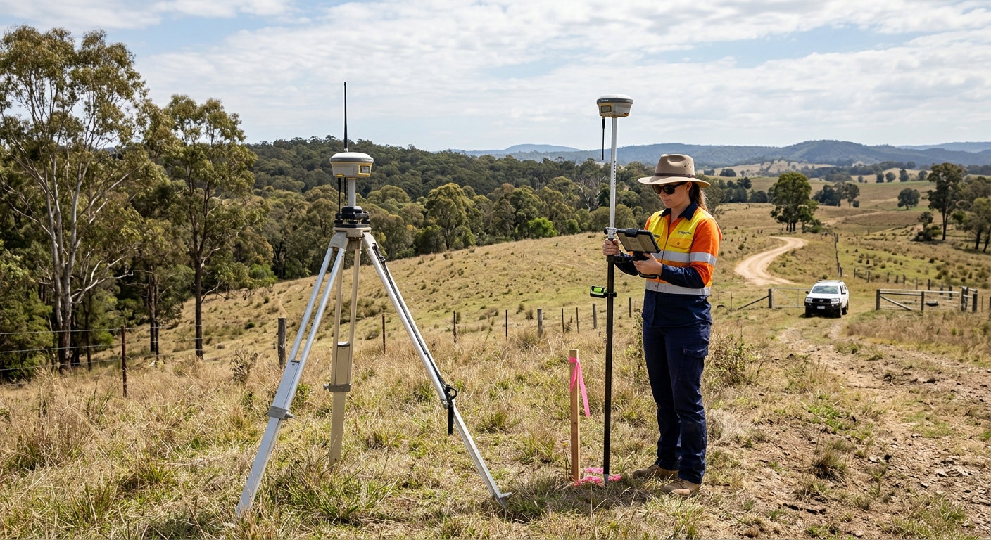
I learned the hard way that a reliable GPS unit is not optional for off-grid surveying. The lesson came on a block out in the outback. I was running a handheld unit, watching the battery indicator the way you do, and it held fine until it didn't. Once the charge sagged, the RTK lock started drifting. I didn't catch it at the time. I finished the survey, packed the kit, and submitted the file. The council knocked it back. Their reason was plain: the coordinates fell below the required centimetre-level precision. Centimetre, not metre. Below. The whole submission was dead.
Contour lines tell me where the water runs and where it sits. I draw them for every track I cut, every dam I site, every building pad I peg out. The elevation data has to be right first—DEMs and LiDAR give me that, and I won't lay out a job without them open on the laptop beside me.
Before I peg a corner, I pull the legal description and walk the boundary with it in hand, not on a screen. Each corner gets a GPS point, then I check those points against the council's historic cadastral records before anything goes on paper. That old-school cross-check has saved me more than one argument at the front fence, and the planning office signs off without the back-and-forth.
I measure vertical distances with elevation tools for accurate topographic maps. My kit has laser levels, digital levels, and GPS-based elevation data.
While many off-grid projects are achievable as DIY, certain situations require licensed professionals:
Always check local regulations and obtain necessary permits before commencing work.
Worth a watch: How to Lay Out Building Plans in the Field Using RTK GPS/GNSS (Construction and Land Surveying) · Bench-Mark Equipment and Supplies